
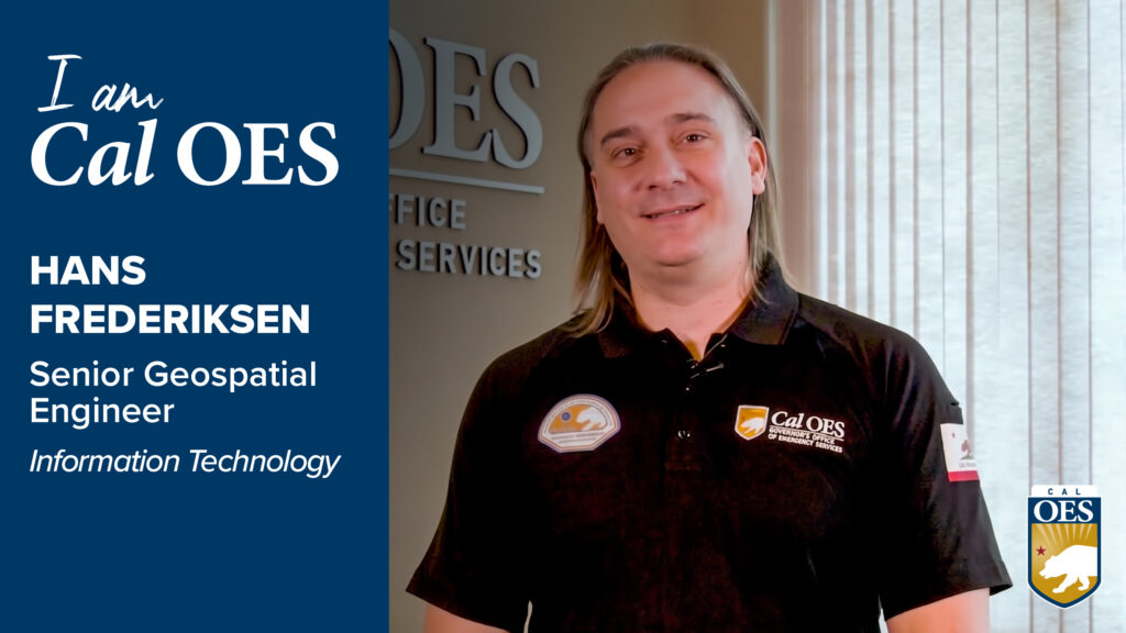
Using geographic information systems to help support emergency response efforts across California, behind the maps, data, and technology is a person who has dedicated much of his career to helping others and strengthening the state’s ability to prepare for and respond to disasters.
This week, Cal OES welcomes you to learn more about Hans Frederiksen, Senior Geospatial Engineer with Information Technology at Cal OES. Hans works alongside professionals in the State Operations Center, where information must be gathered, analyzed, and shared quickly. His work with GIS helps turn complex information into tools and visualizations that can help emergency managers and partner agencies make informed decisions when communities are facing hazards.
“I am really proud of the work I do at Cal OES, because a lot of it is turning information into action,” Hans says.
Hans’s experience includes military service, and that background has helped shape his approach to emergency management. Whether he is working behind a computer, collaborating with colleagues, or supporting emergency operations, Hans demonstrates how specialized skills can make a meaningful difference in protecting California communities.